Our Coast
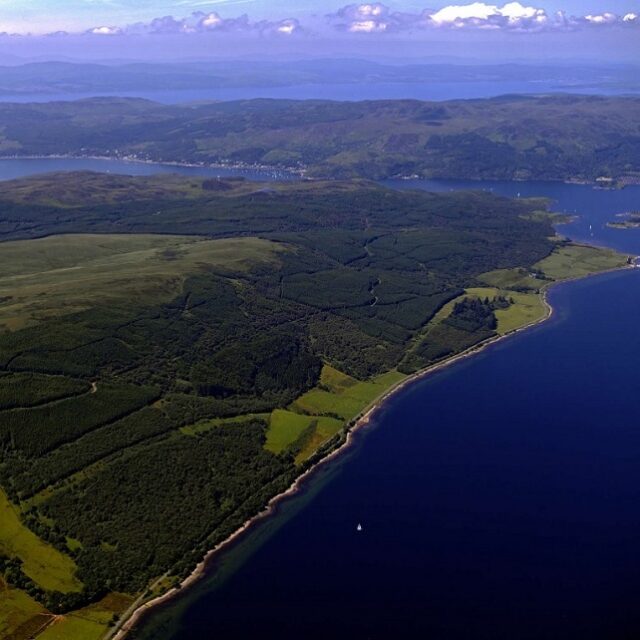
Bute Community Forest runs along the world-famous East Kyle of Bute. The Forest has its own stretch of coastline and large stretches of the Forest come close to the shoreline. Park at the shore-side layby at Moss Wood off the A866 Rhubodach road and walk the shore northwards towards the narrows, or walk the shore at the north end of the island opposite Burnt Island.
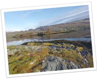
Feeling more adventurous? Take the Kayak Trail which runs through Argyll and Bute. Stop at the Kayak Shelter at Bute Community Forest en route west to Toward on the Cowal Peninsular or East towards Tighnabruaich, or as part of kayaking round Bute’s Coast. For those on land, take a walk up the Poetry Trail through Moss Wood up to the viewing point and enjoy the views back southwards across the beautiful island of Bute and beyond.